SECTOR.
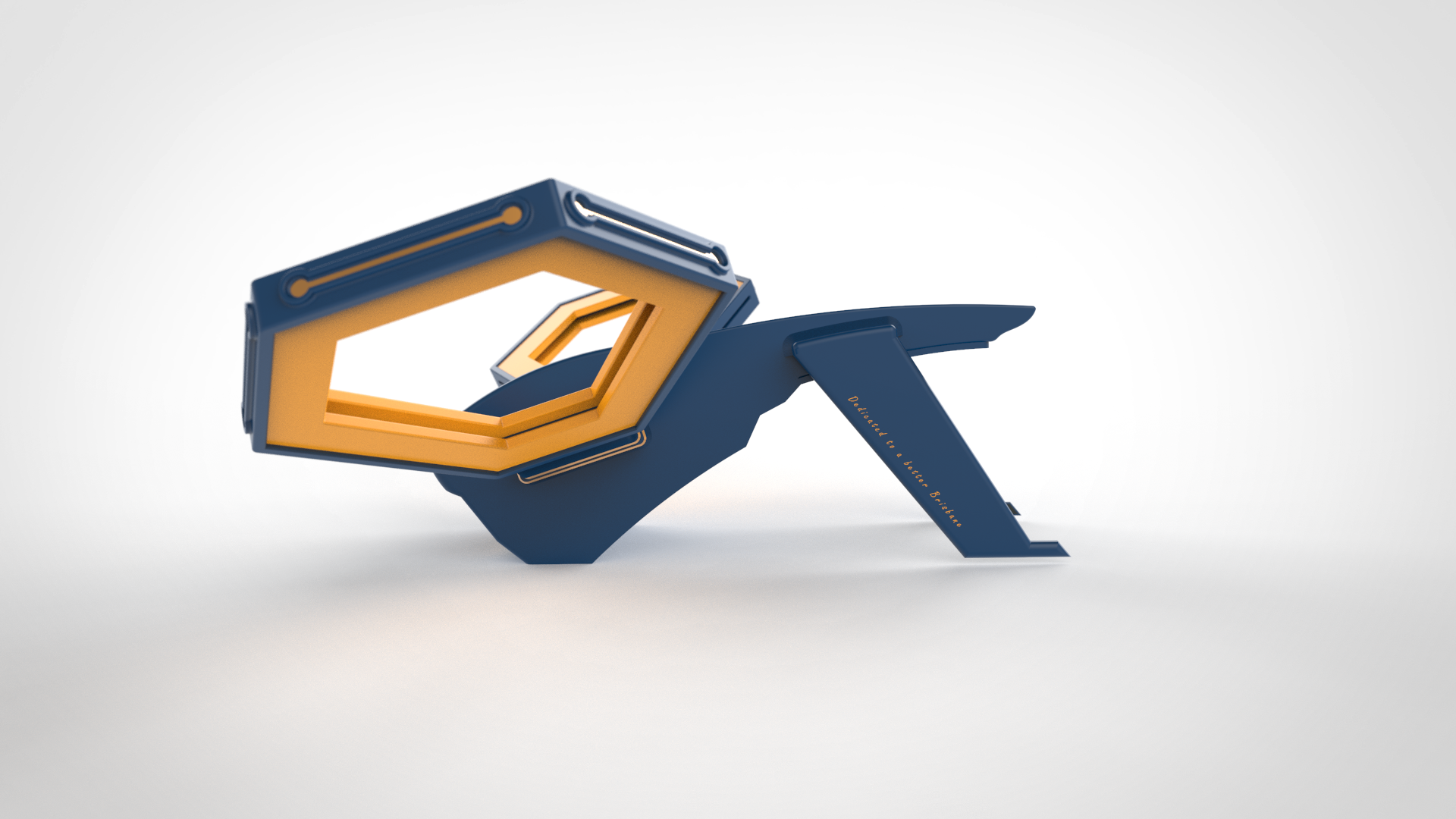
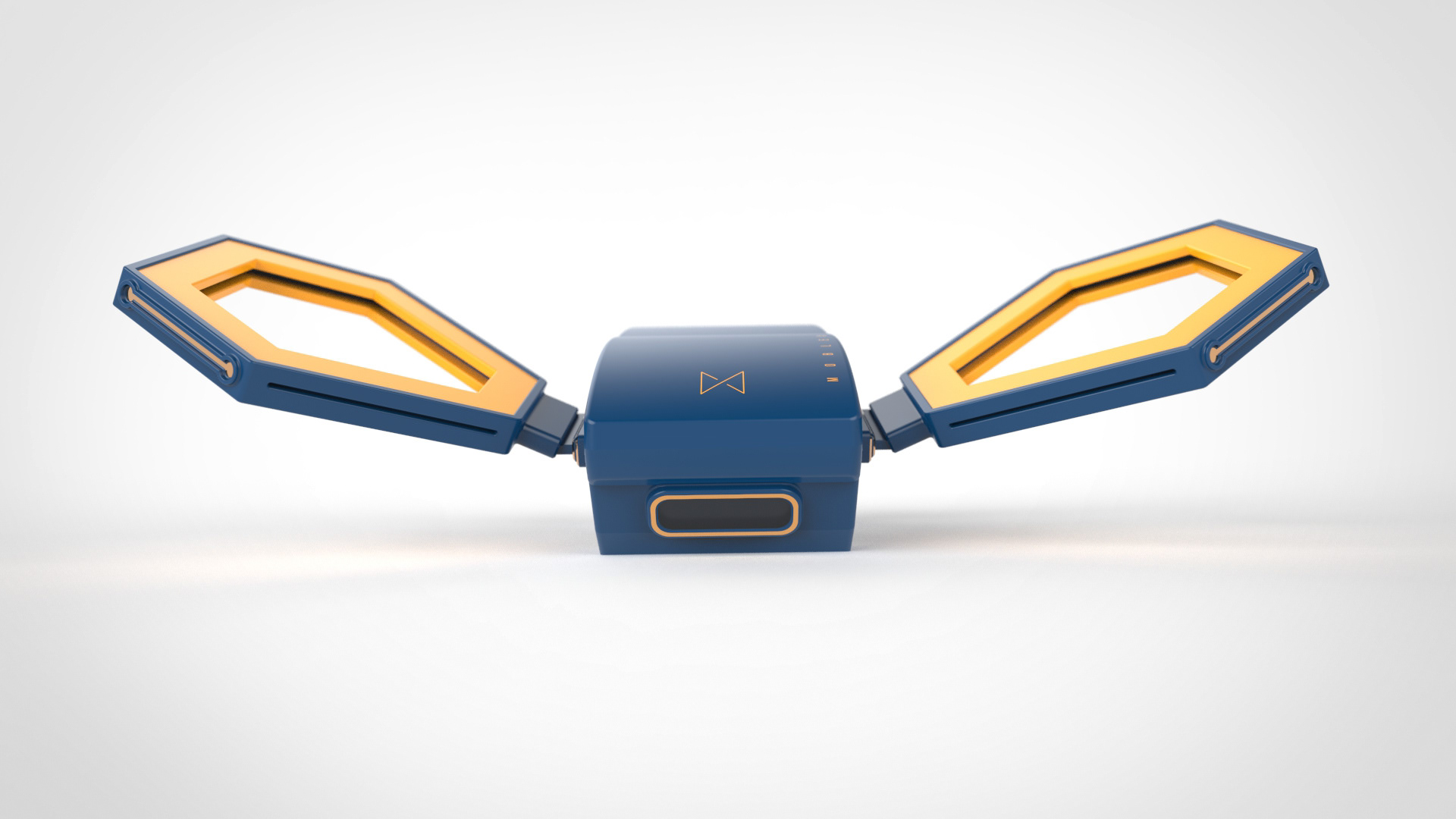
Transport Communications Drone
Team: Dang Khoa Tran, Henry Gomez-Borowski, Hsuan Lee, John Yuan Sen Looi
Brief: For the future setting of 2050, design a 10-kilometre travel experience for people, freight, or services within the CBD and pair it with an innovative and context-sensitive system.
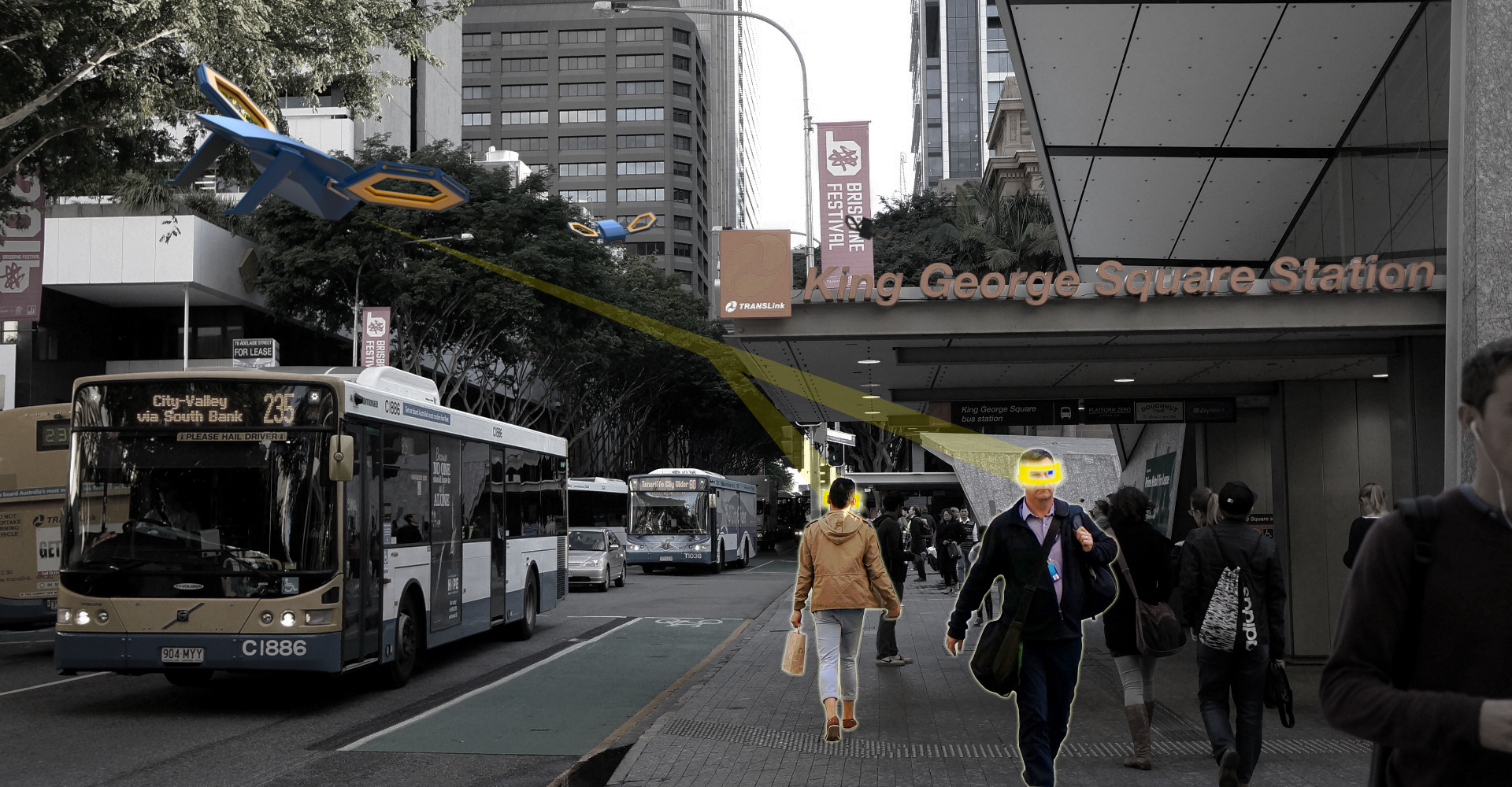
Solution: Sector is a 2050 concept of Brisbane’s public transportation system. Our goal is to develop a decentralised transportation system where real-time tracking allows for a customised strategy to decrease peak-hour traffic congestion. Using IoT and drones, public transportation vehicles can map out passengers’ trip itineraries, creating a unique time schedule that encompasses all passengers in their sector.

Fusion 360

Photoshop

Keyshot
|Process|
In-person Research, Conceptual Design, Design Thinking, Prototyping, Systems
|Technology|
3D printing, Keyshot renders
IoT system
The Sector system, which is connected through the internet, combines user tracking with top-down AI to provide seamless and flexible transportation for all citizens in each zone.
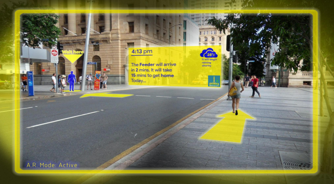
Mixed-reality display
Using an IoT system, the Sector drone projects a mixed-reality interface for users looking to travel on transportation.
Minimal and clean design
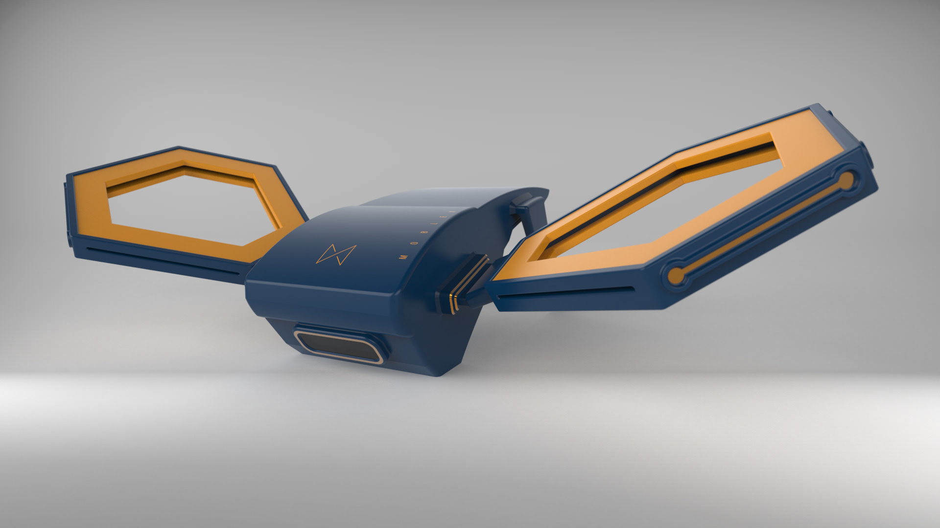
Inspired by Dyson products, the Sector drone uses pressurised air to keep itself afloat and navigate around the city in a quiet and efficient manner.
Context shots
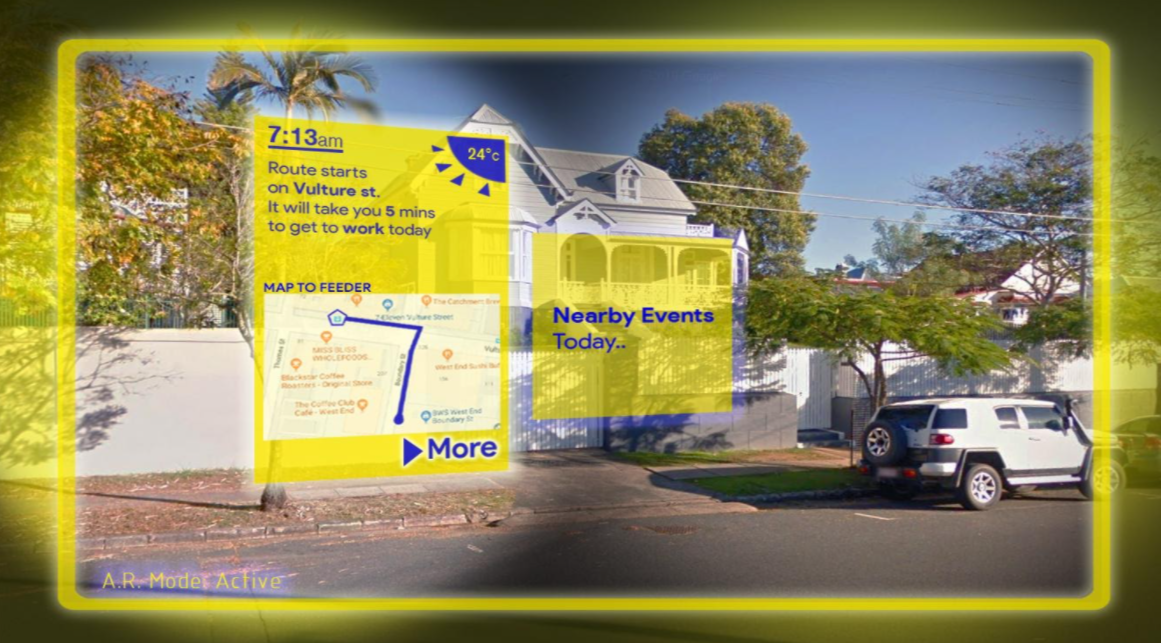
Mixed reality UI design #1
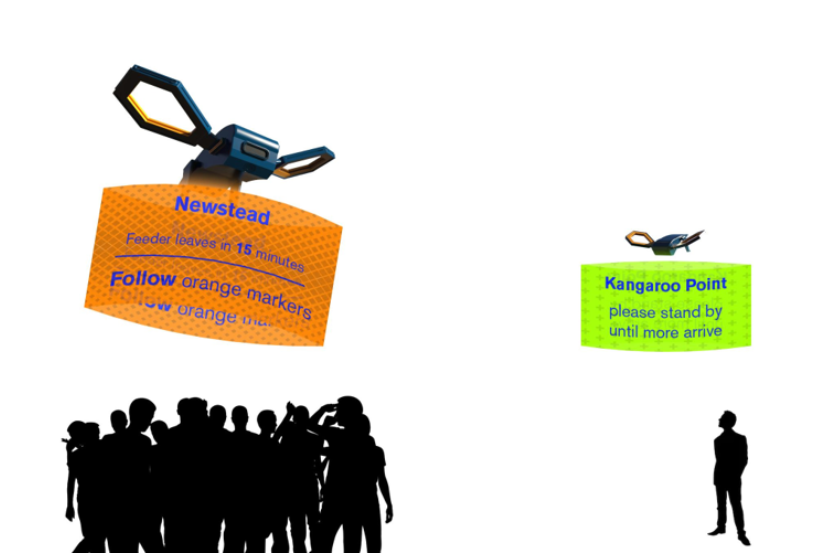
Mixed reality UI design #2
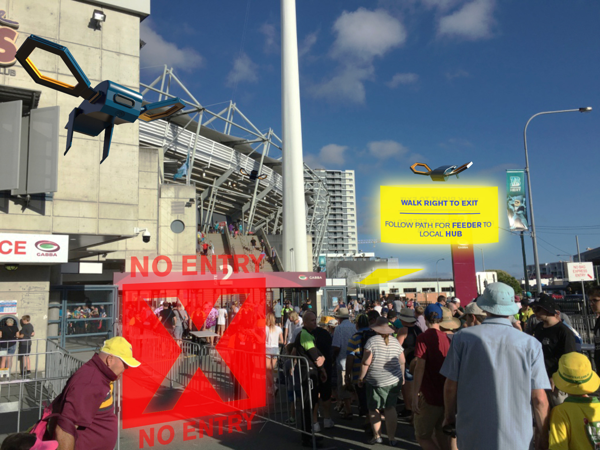
Mixed reality UI design #3
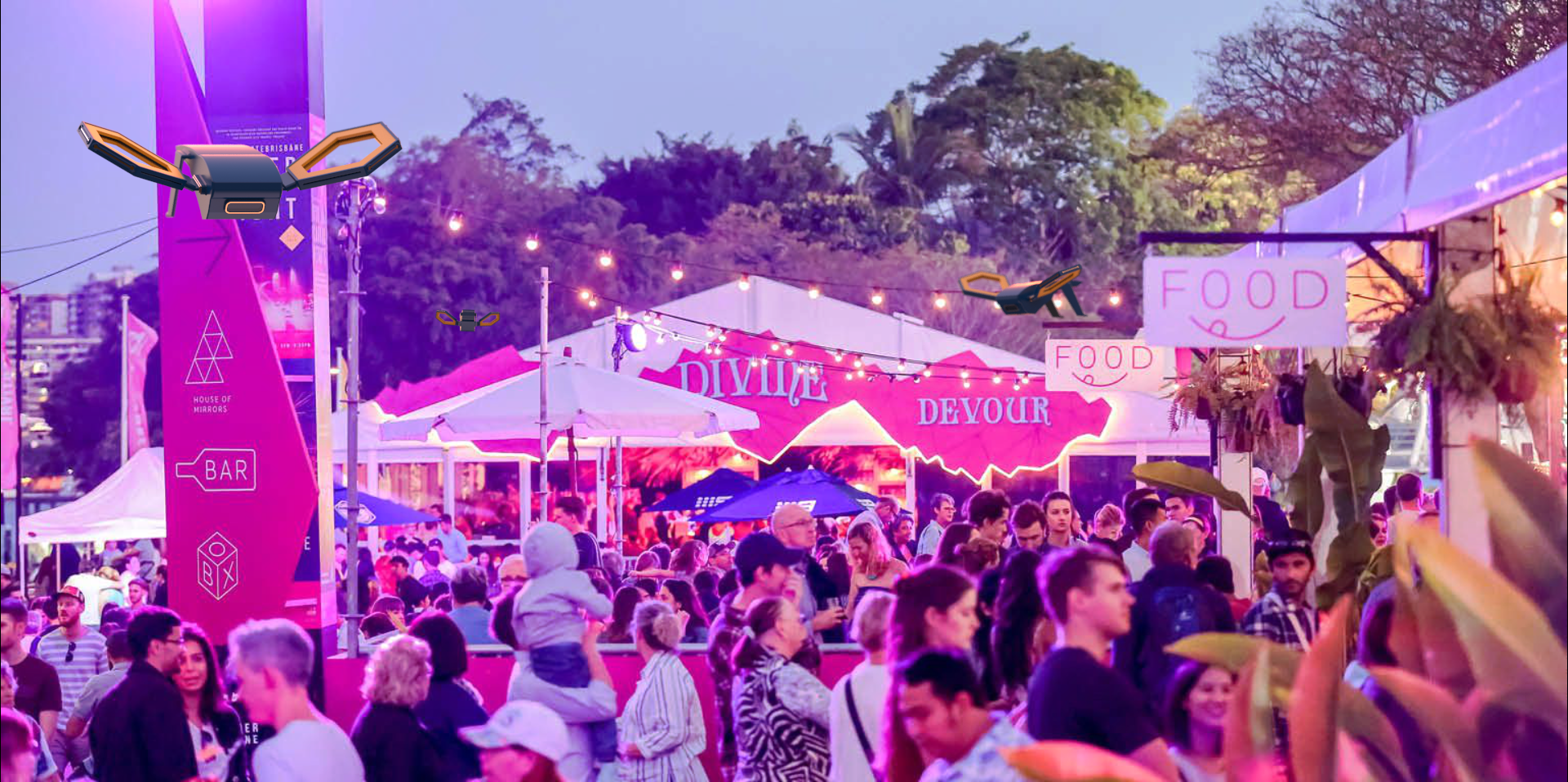
Sector drone context shot #1
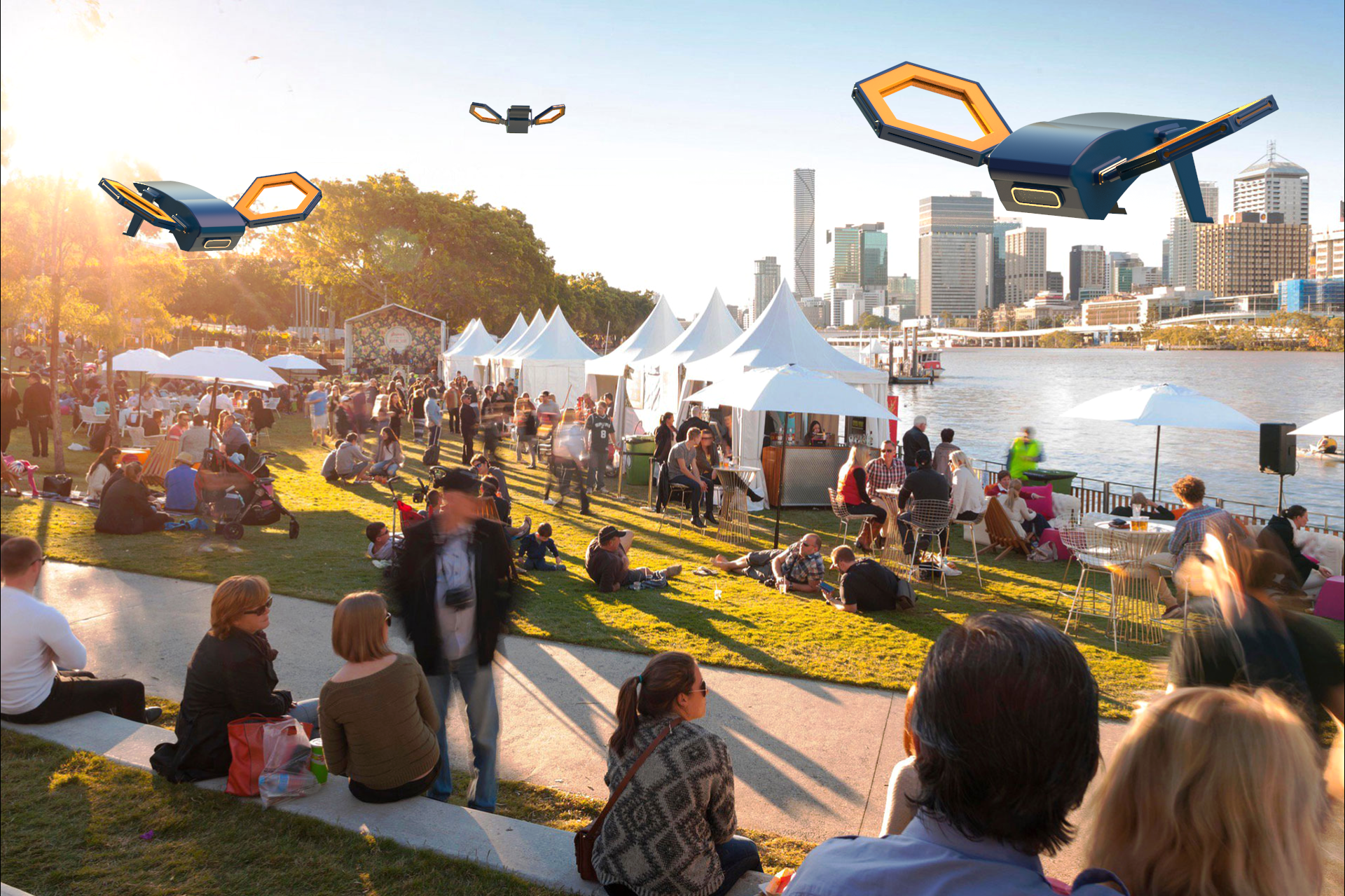
Sector drone context shot #2
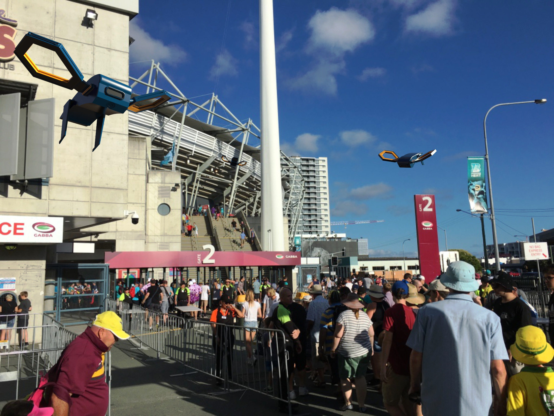
Sector drone context shot #3
Design process
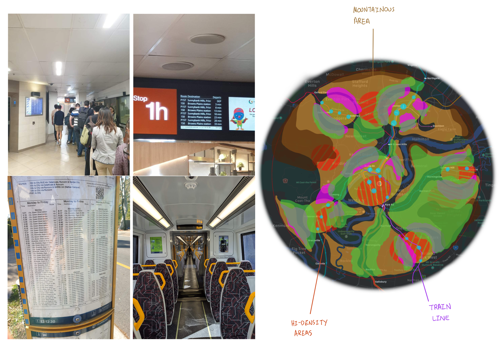
In-person research
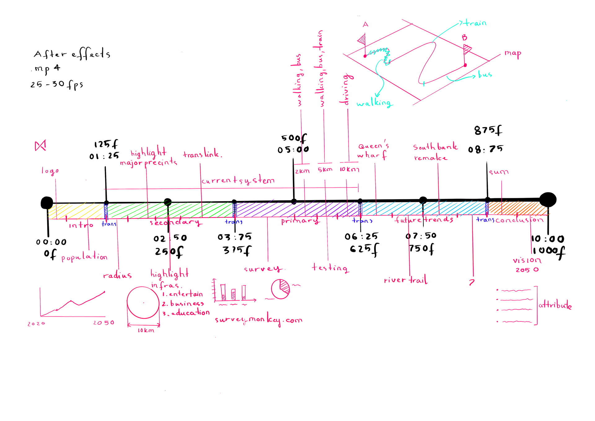
Project timeline
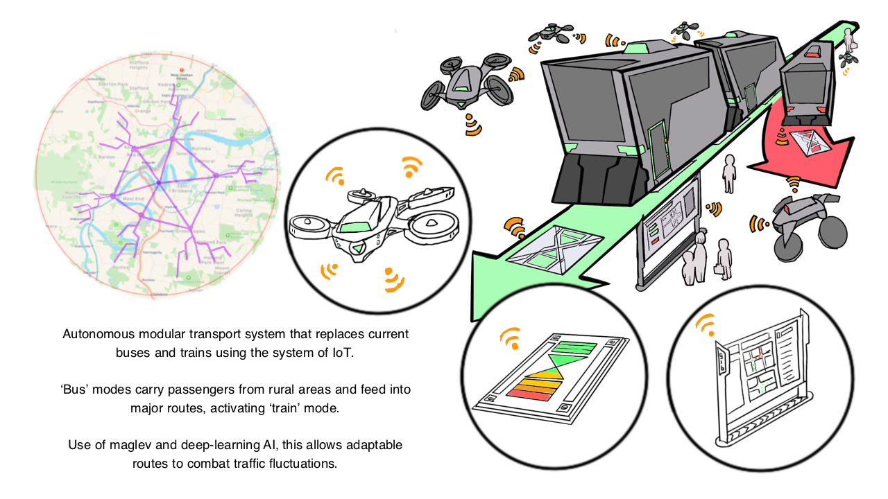
Design idea
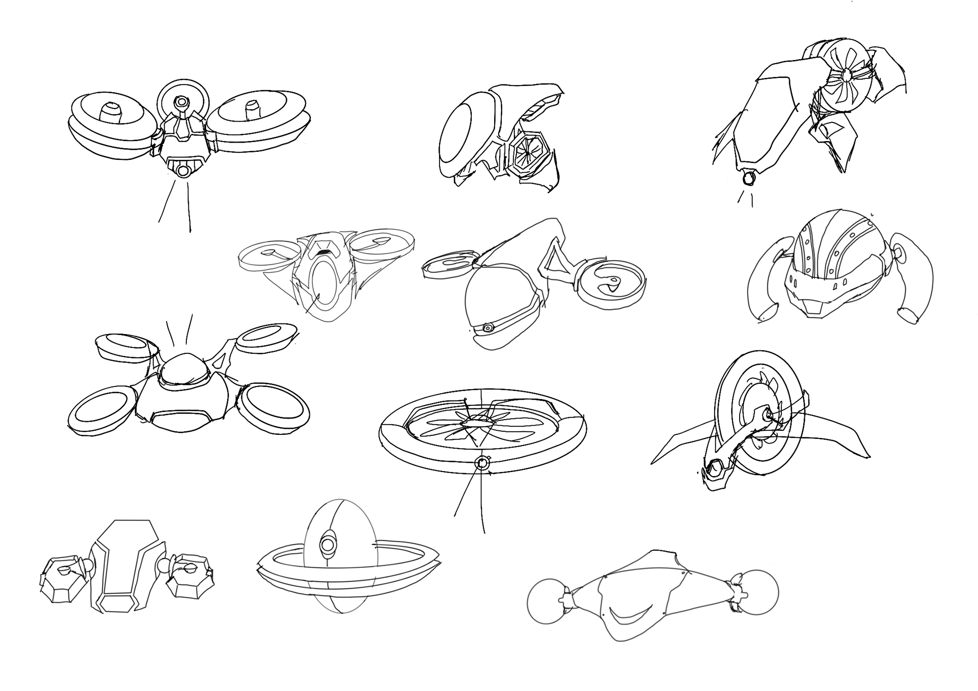
Sketch iteration #1
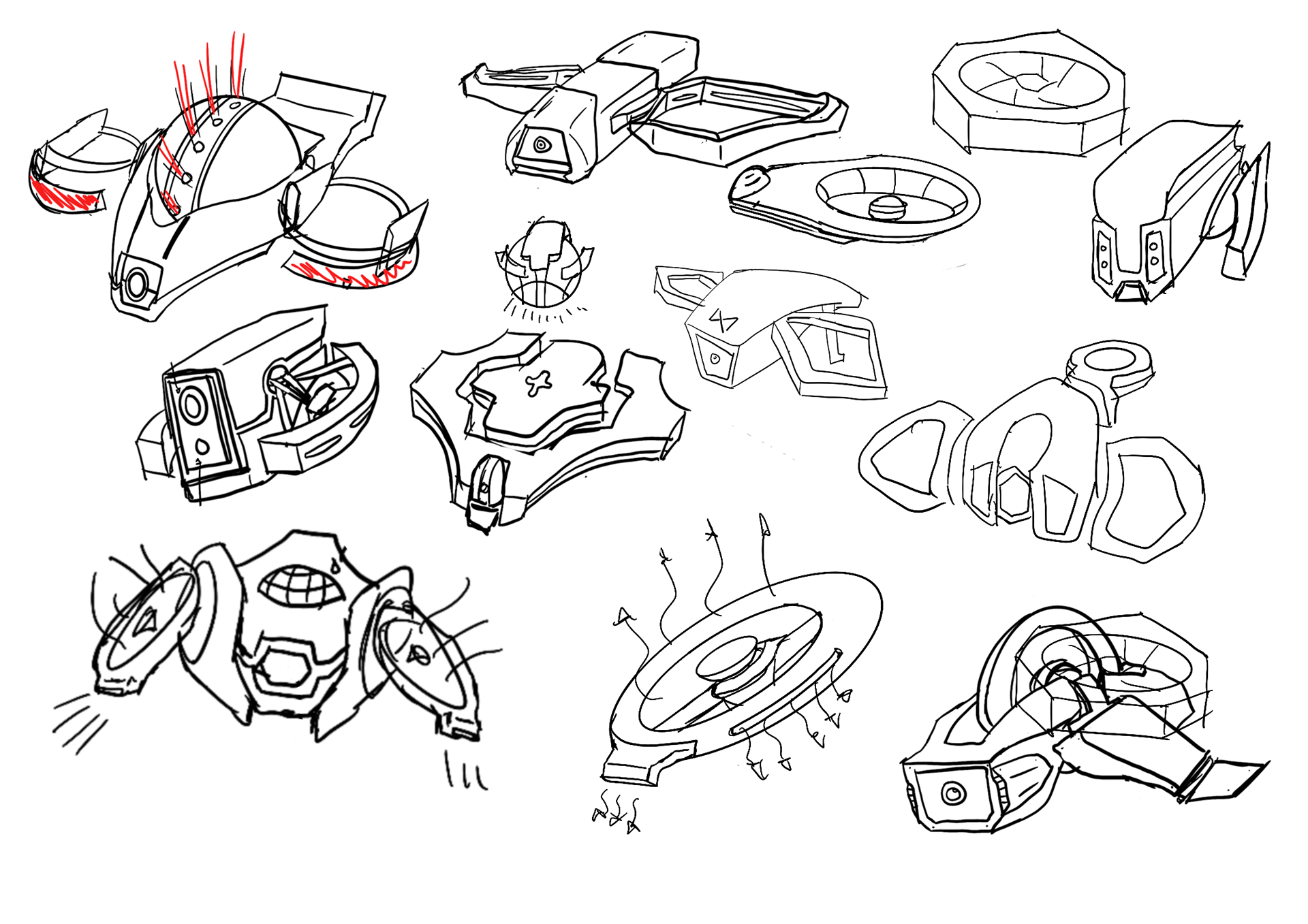
Sketch iteration #2
Prototyping
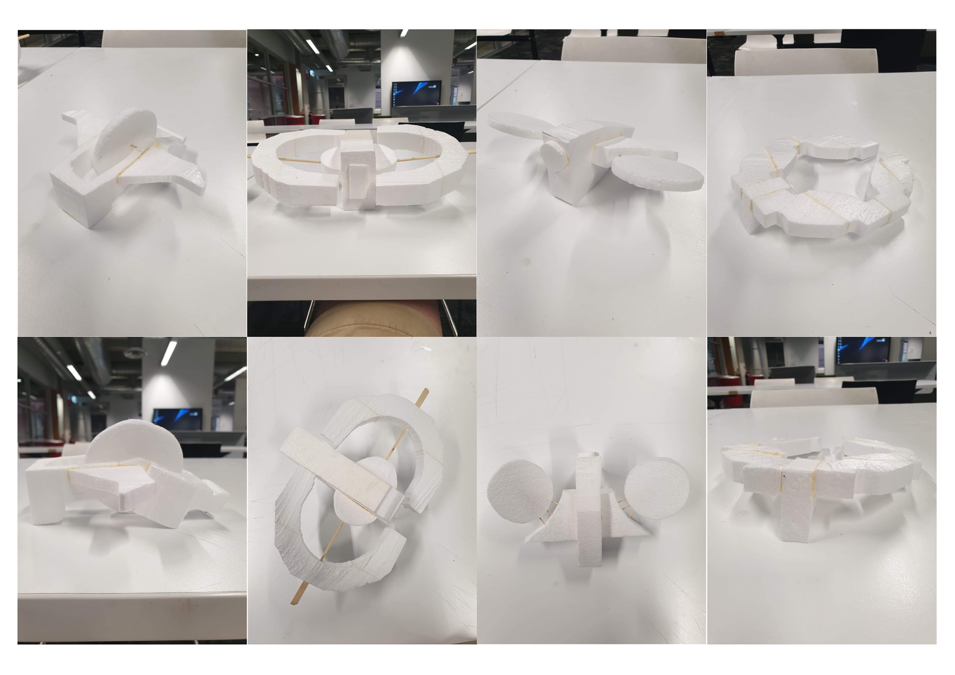
Iterative foam modelling
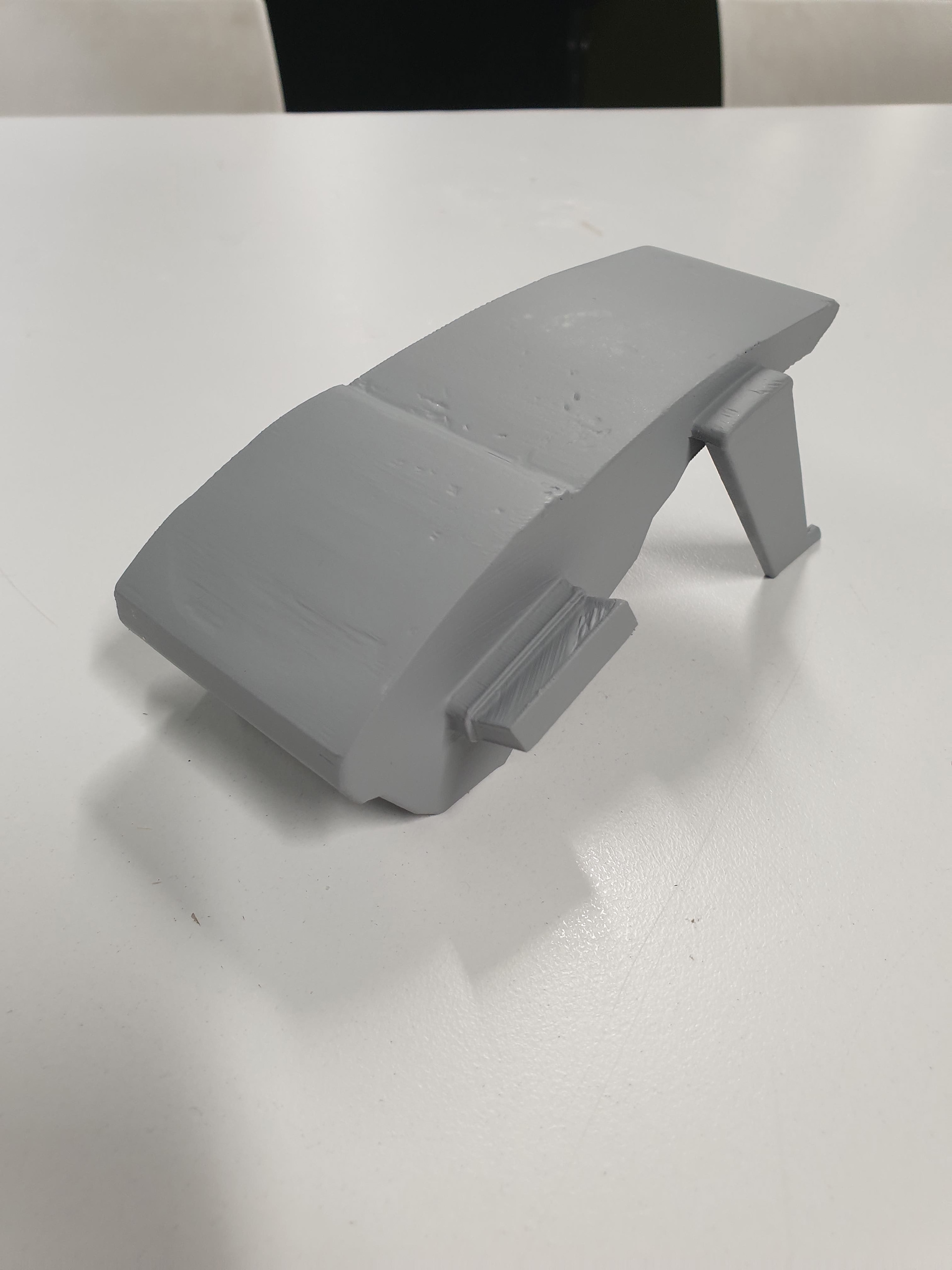
Primer filler body coat
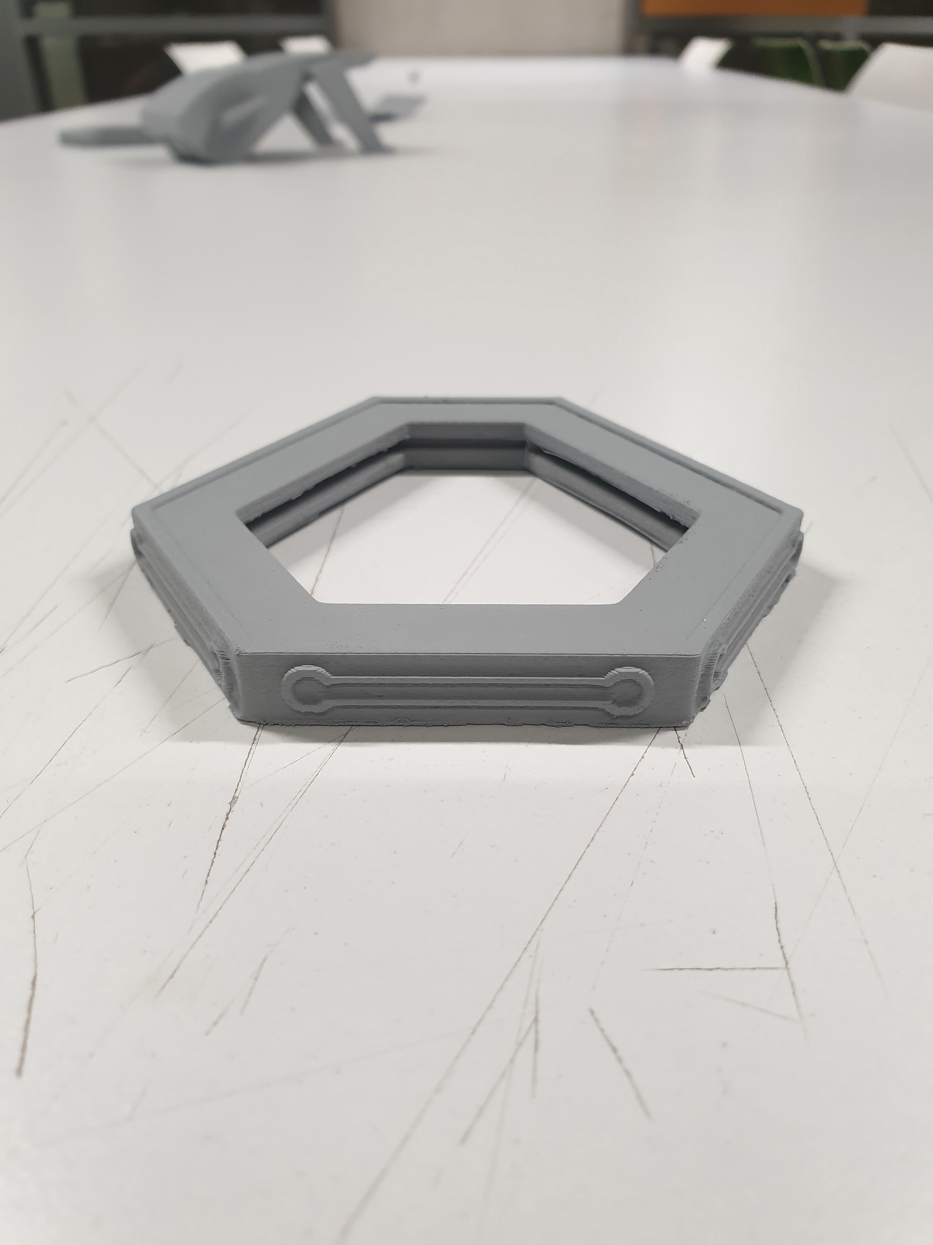
Primer filler wing coat
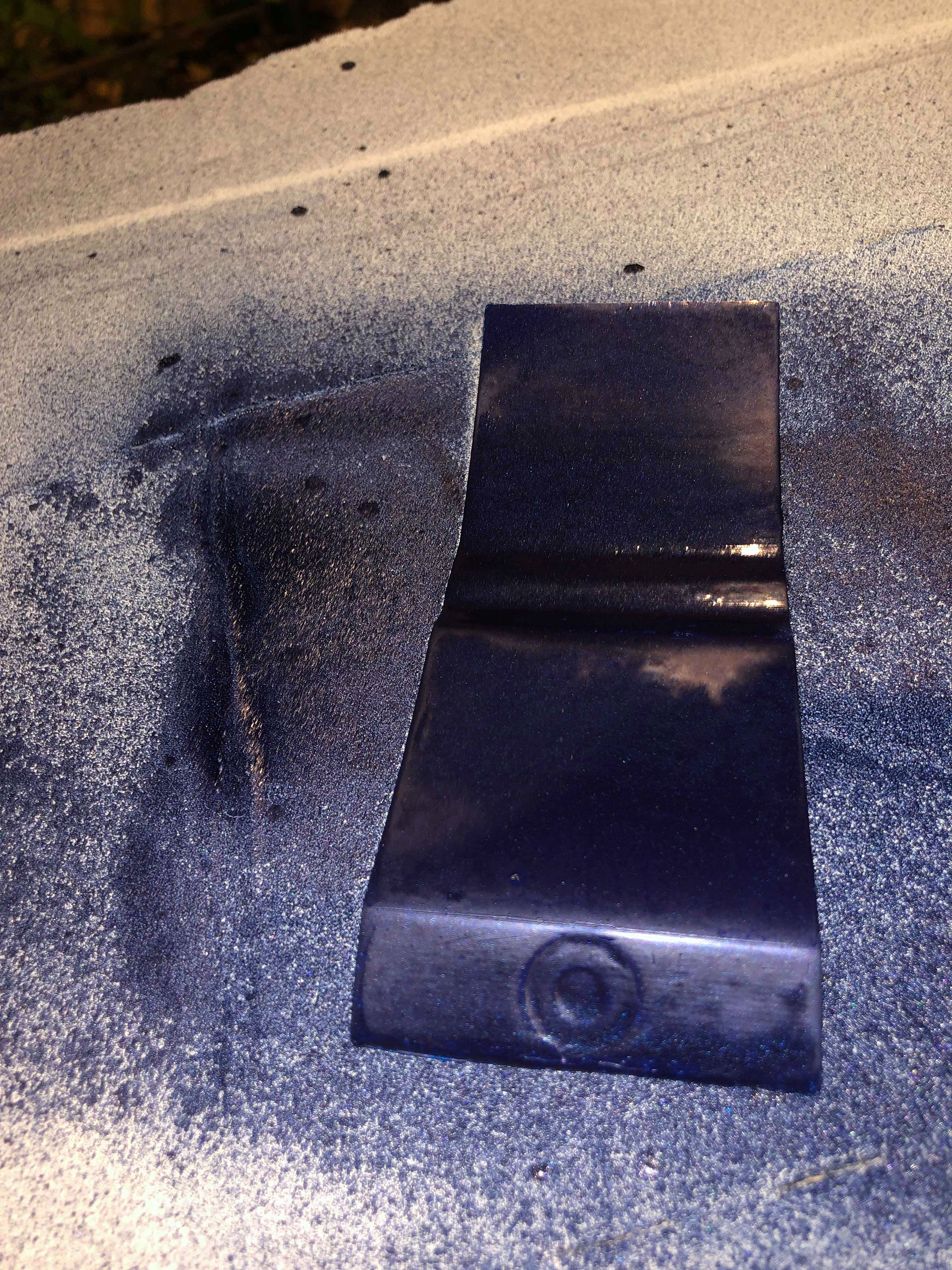
Spraypainting 3D model
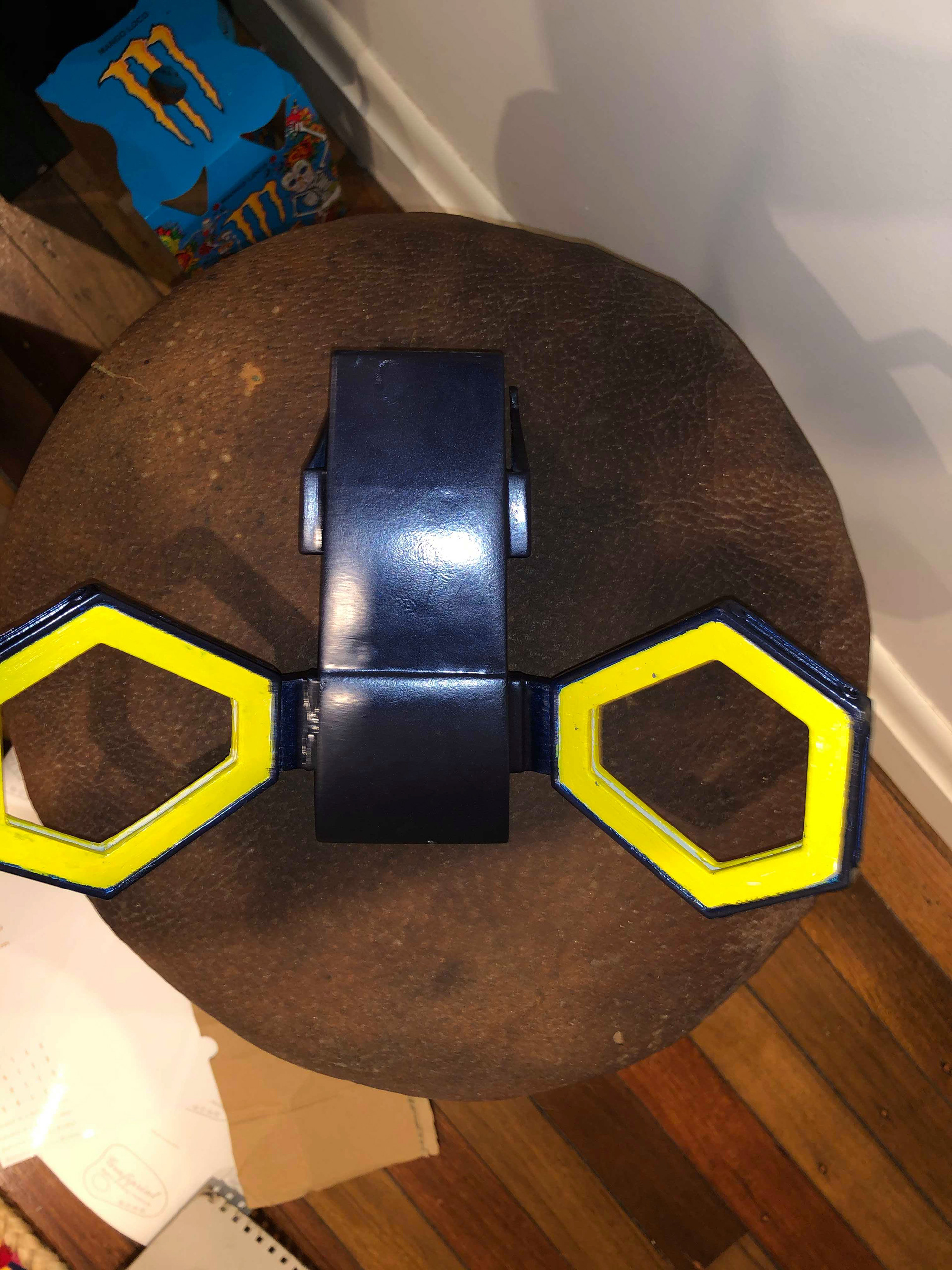
FInal 3D model
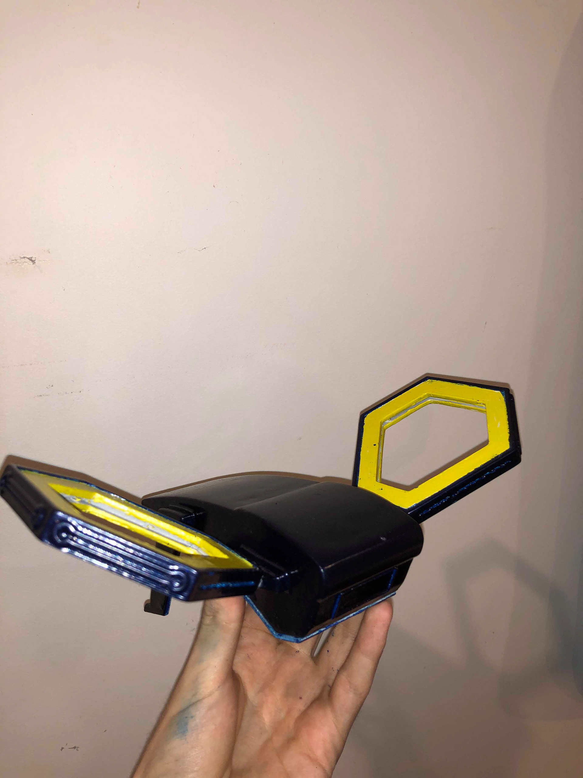
Final 3D model perspective
Keyshot renders
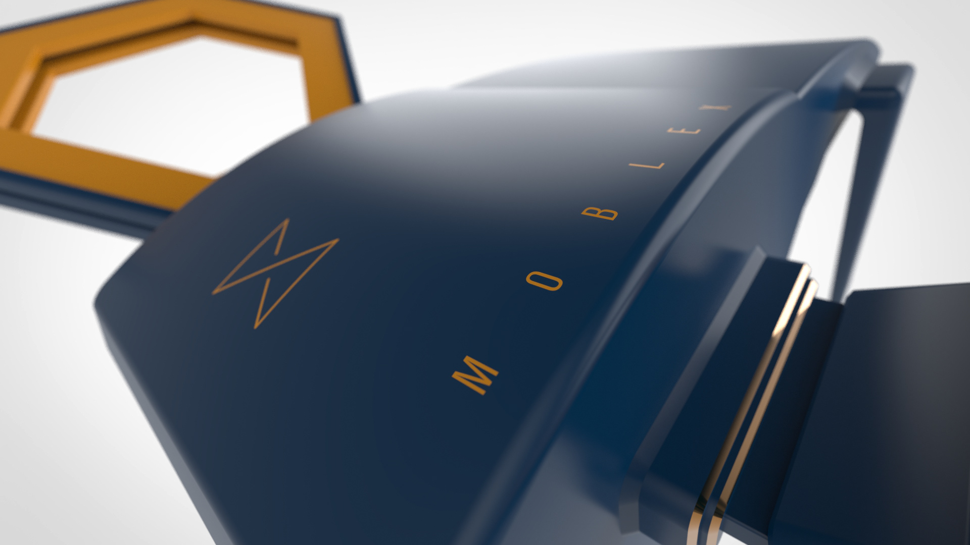
Perspective view
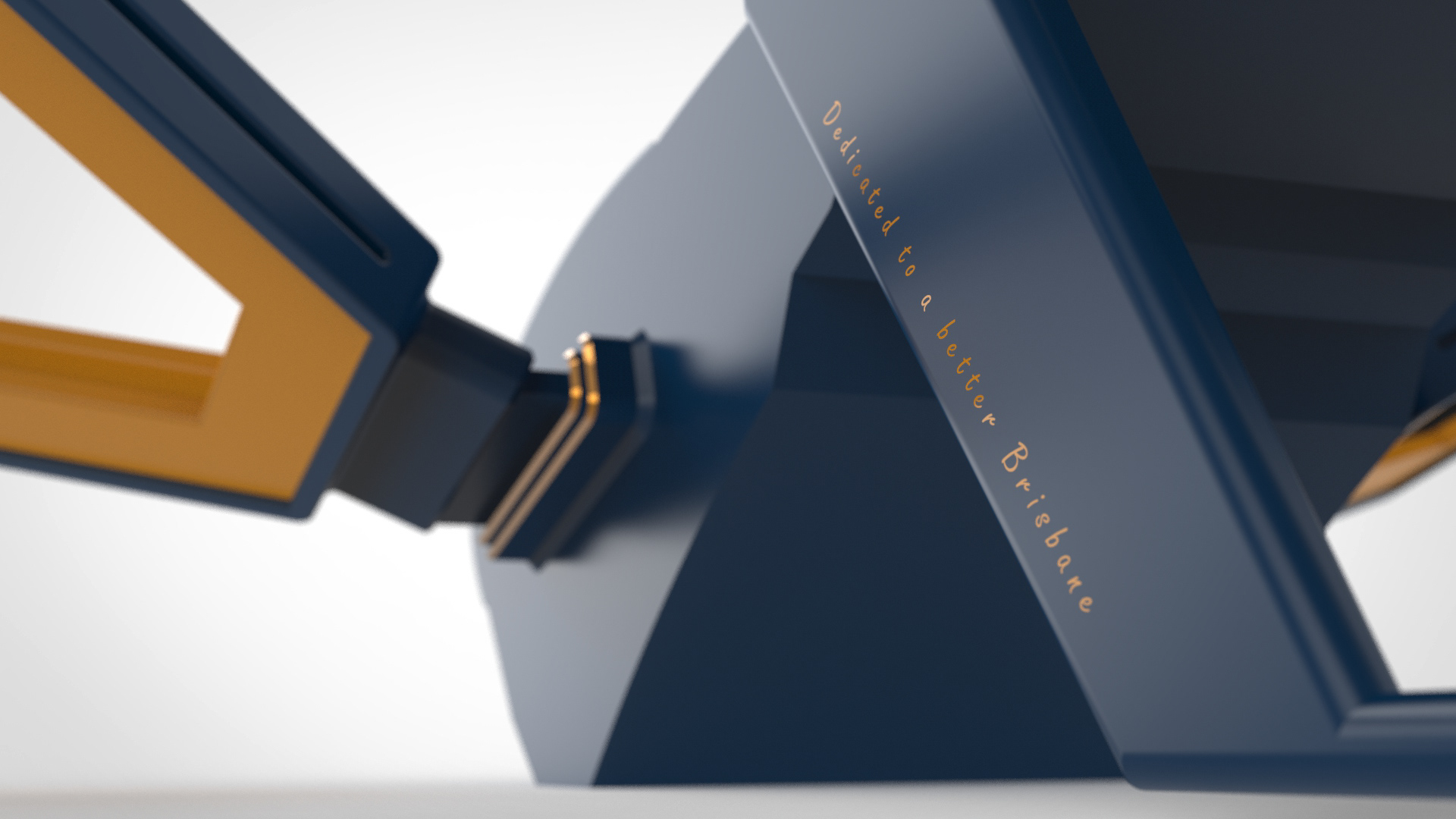
Perspective view #2
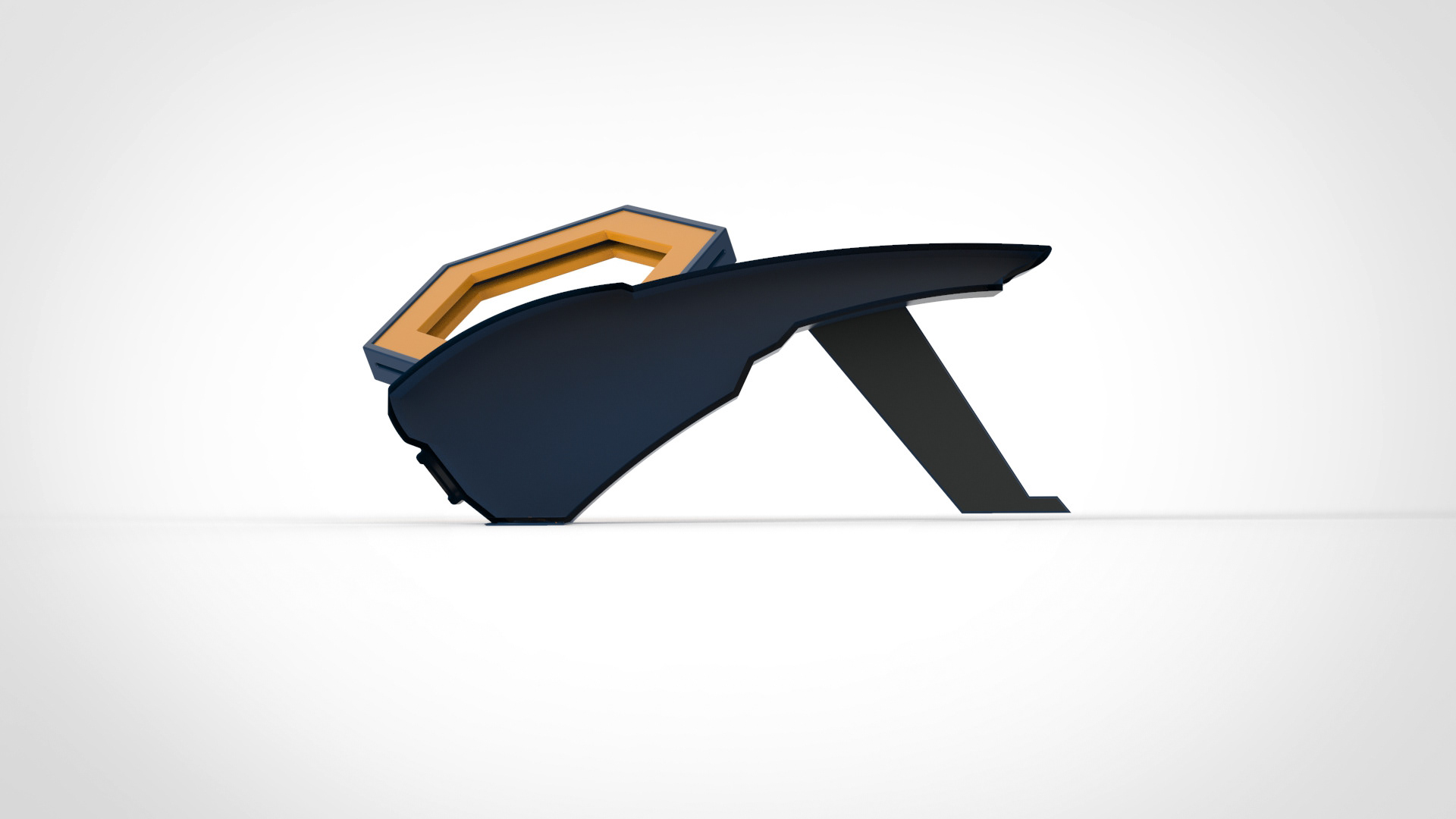
Sector. cross section view